
Reference projects
Urban buildings, infrastructure, bridges and area stability. Each project describes the assignment, our role and the geotechnical challenges.
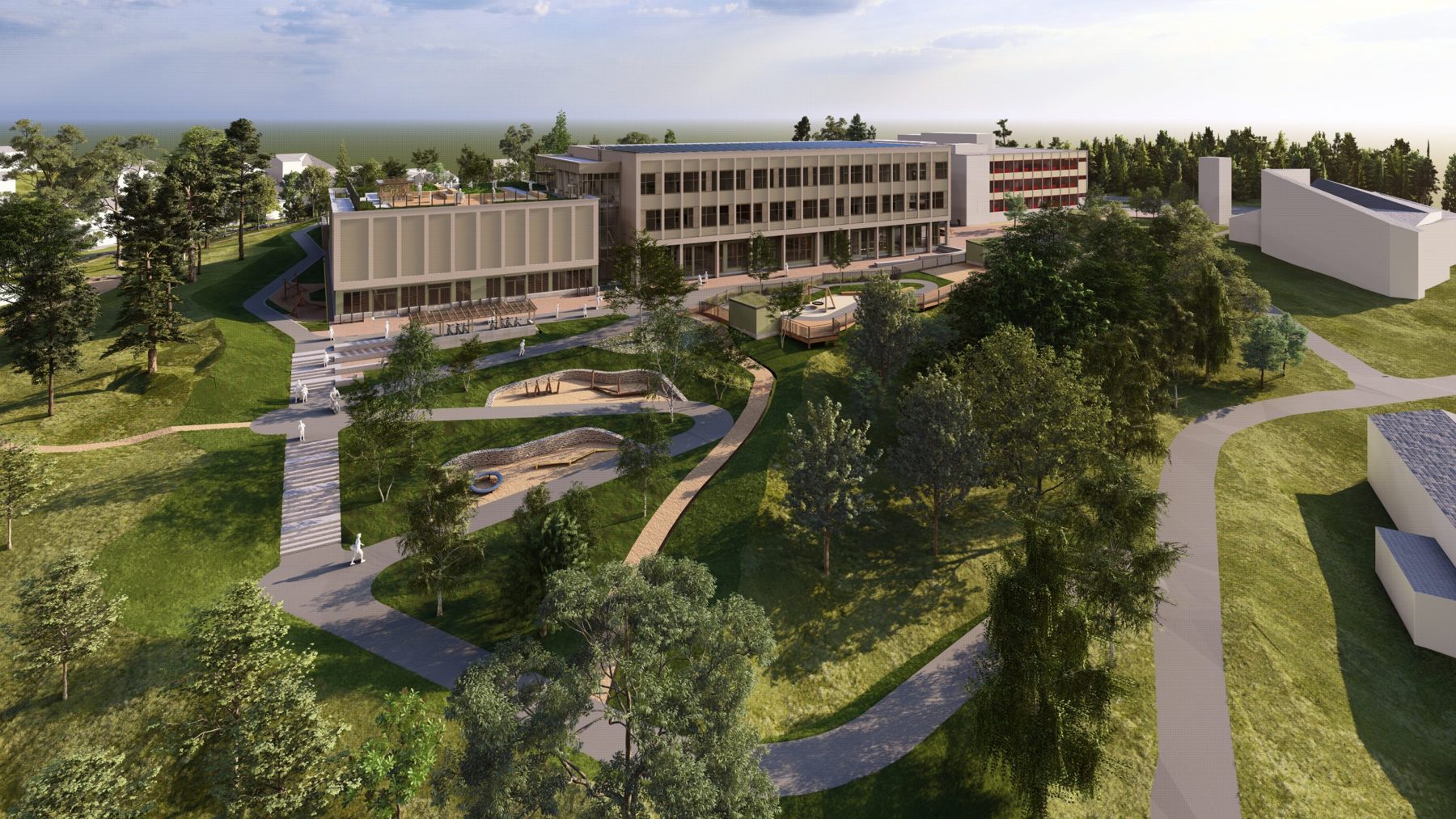
OsloBuildings
Stovner skole
Geotechnical engineer – detailed design, design-build
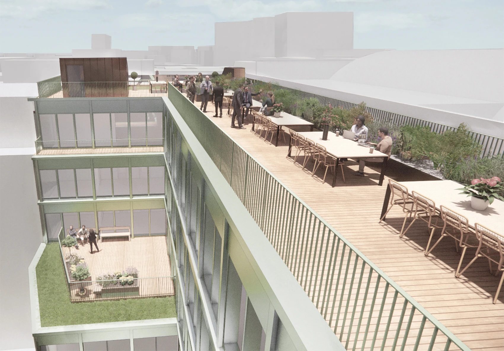
Central OsloBuildings
Stortingsgata 10
Piled foundations to bedrock next to neighbouring buildings
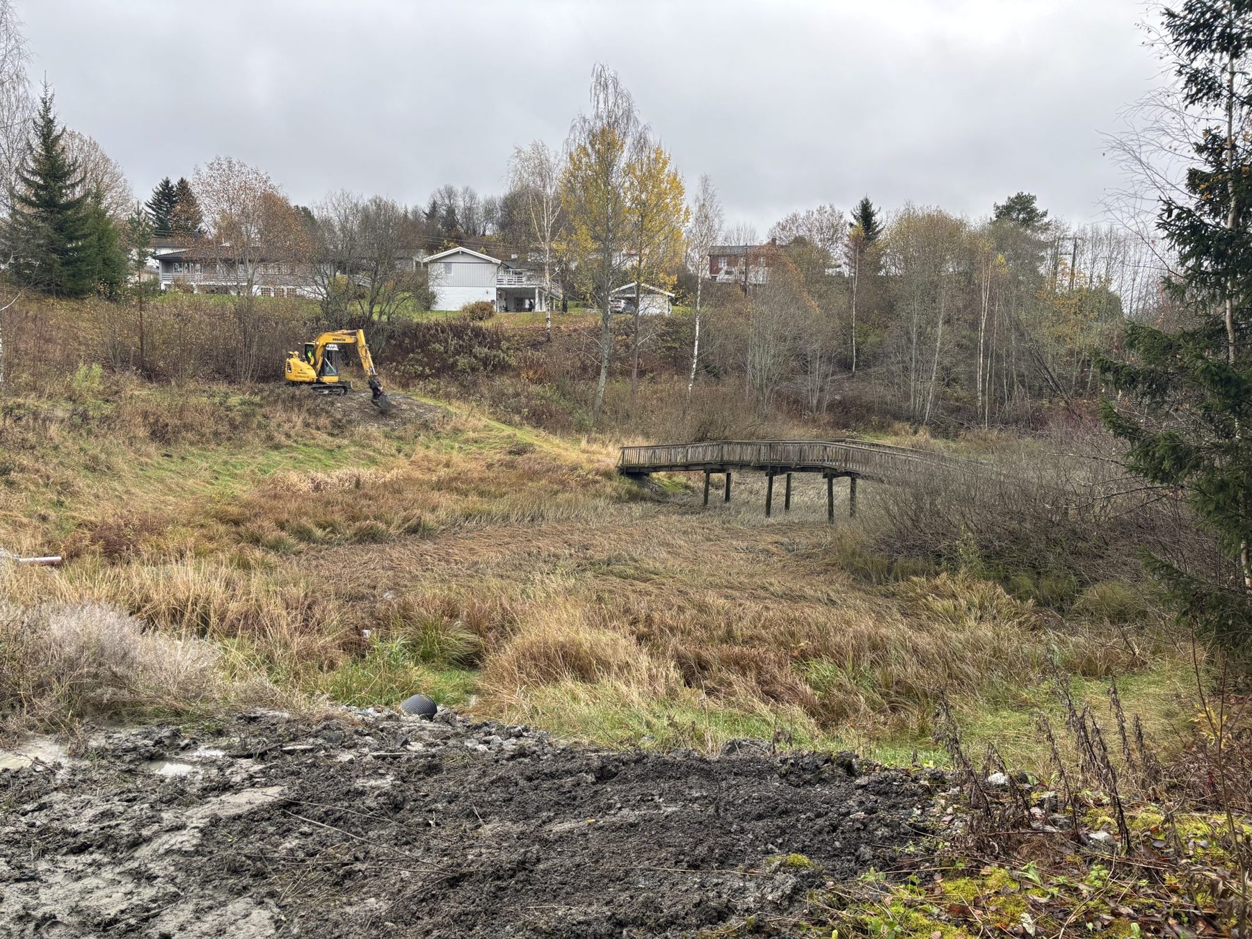
Nes municipalityInfrastructure
Vormlia – water and sewer network rehabilitation
Ground investigation, area stability and detailed design
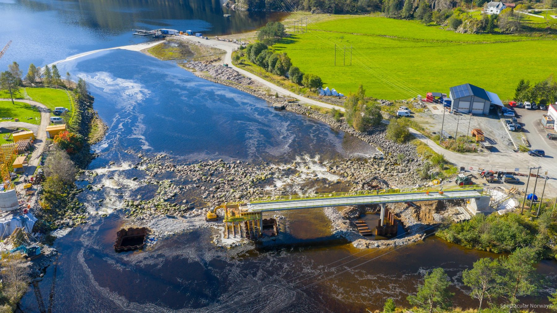
Sirdal municipalityBridges
Tonstad pedestrian and cycle bridge
Foundation design for a bridge across the Sira river
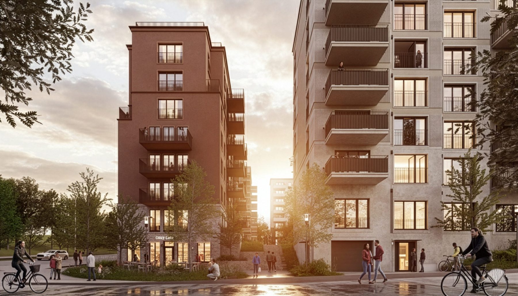
OsloBuildings
Stovner Torg – FutureBuilt
Ground investigation and design, concept to preliminary design
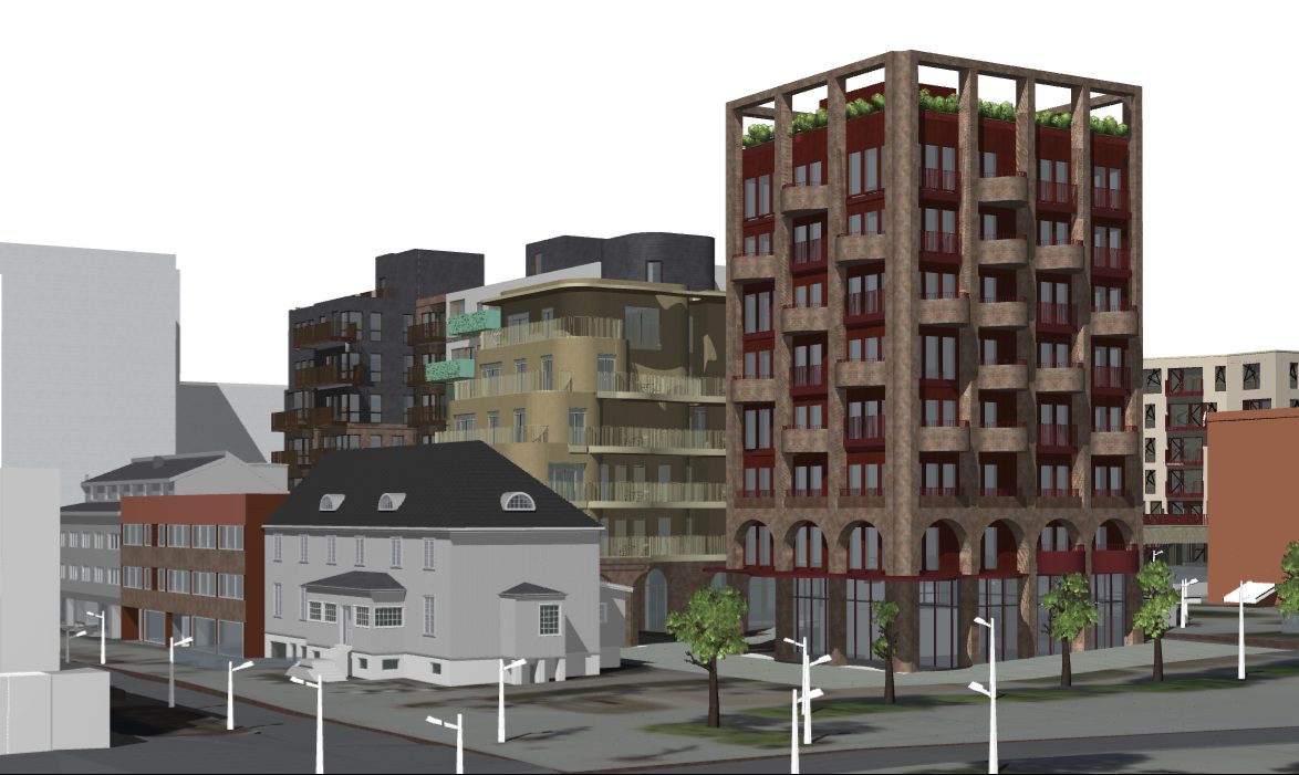
Ski town centreBuildings
Kvartal S7 Ski
Geotechnical engineer for zoning, ground investigation planning
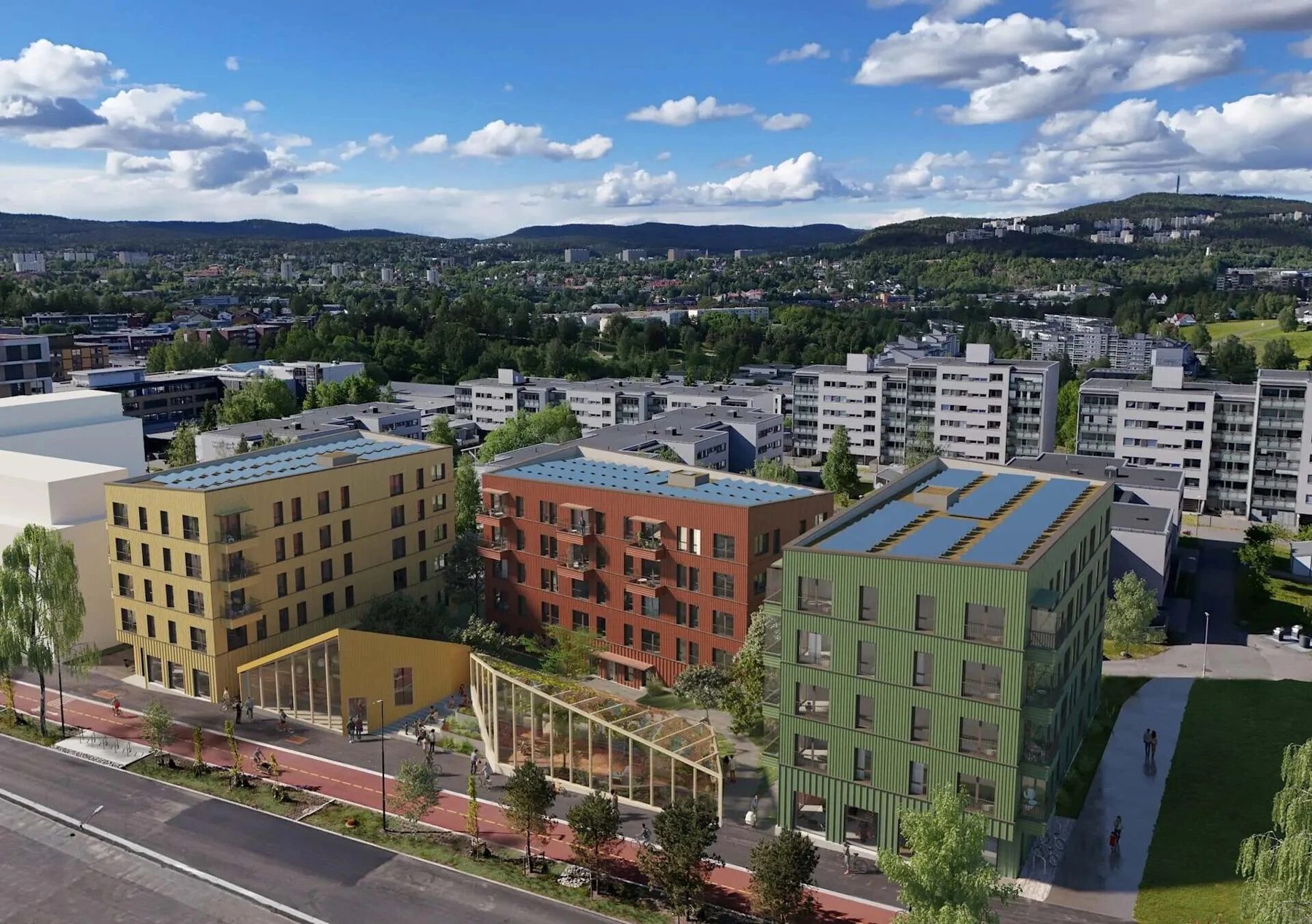
OsloBuildings
Furuset Village
Foundation optimisation and excavations
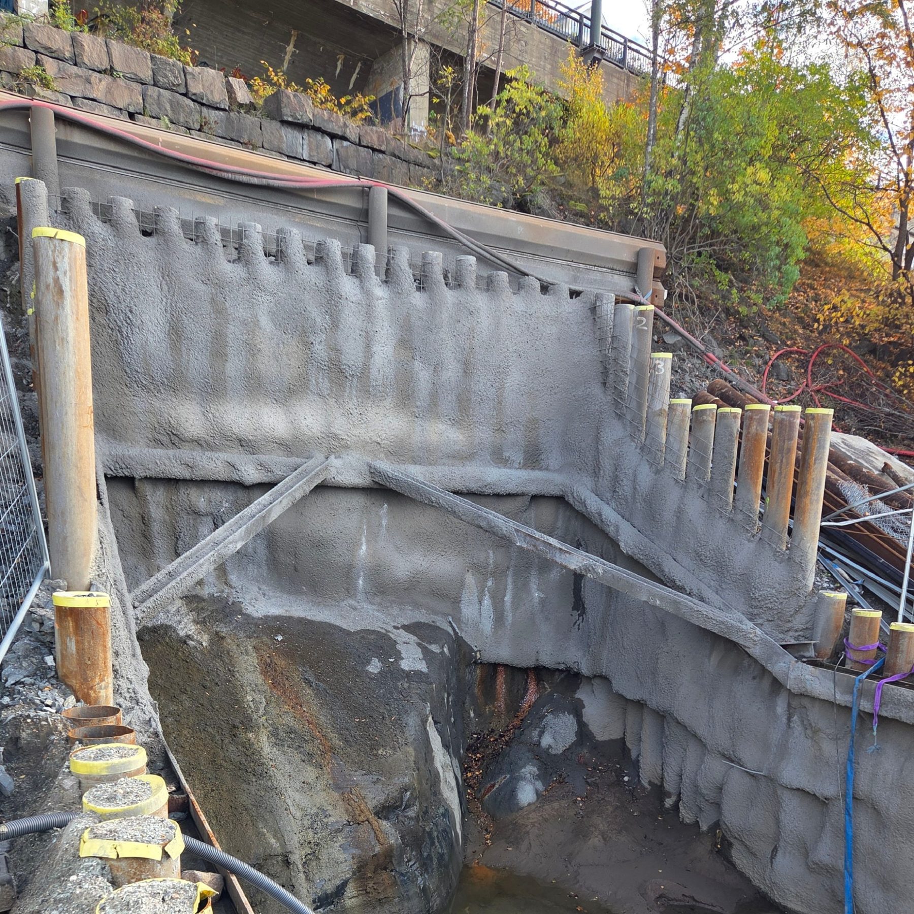
OsloInfrastructure
Bekkelagsbekken – Kongshavnveien
Design of pits in a steep slope, independent checking
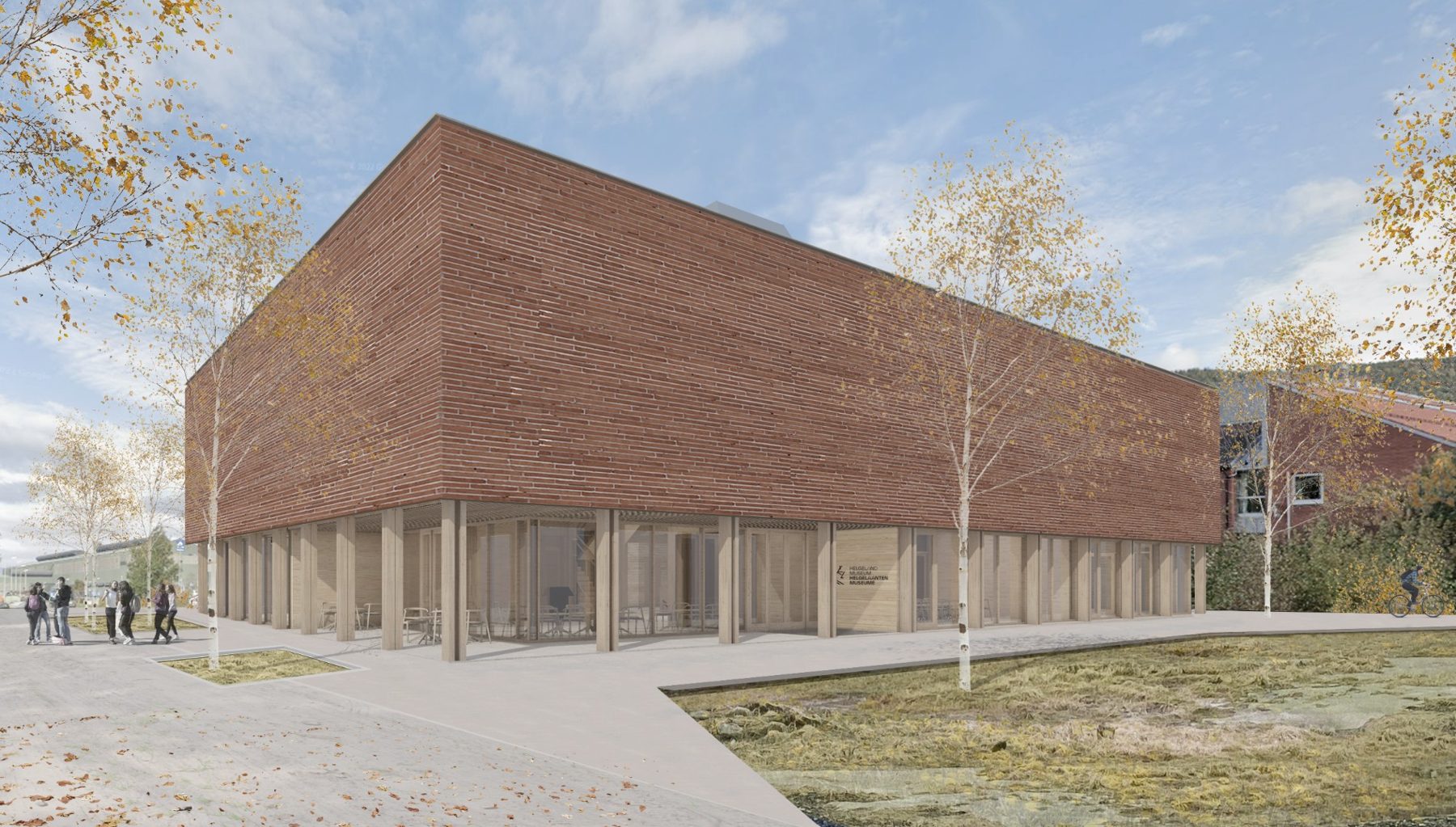
MosjøenBuildings
Helgeland Museum
Detailed design of foundations and groundworks
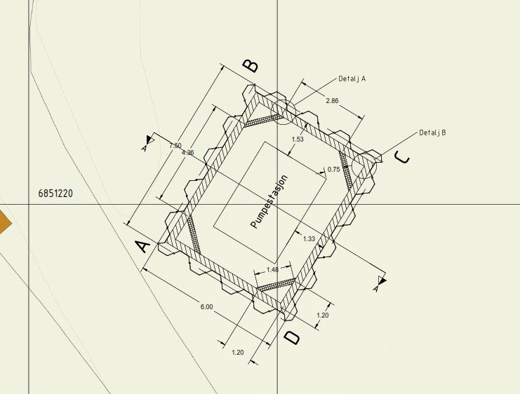
Otta, Sel municipalityInfrastructure
Pumping station 8936 Ulvolden
Design of a temporary sheet-pile excavation
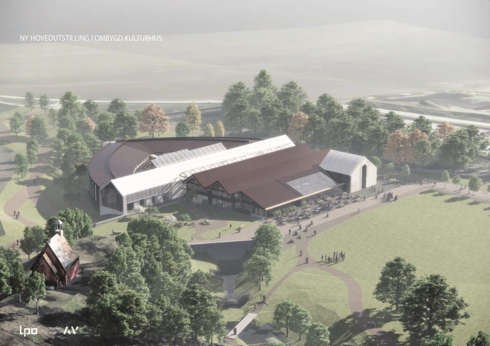
Stiklestad, VerdalBuildings
Stiklestad for a new millennium
Geotechnical engineer in preliminary design, stability analyses
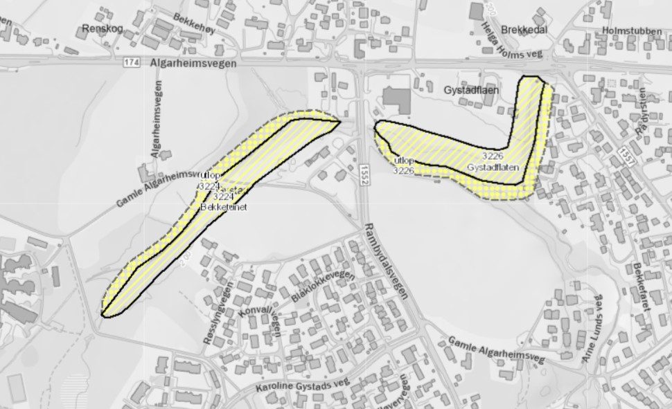
Jessheim, UllensakerArea stability
Gystad – Jessheim
Area stability to NVE guideline 1/2019
Råholt, EidsvollArea stability
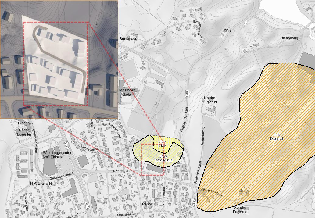
Råholtgutua 12
Area stability, new hazard zone reported to NVE
Noresund, KrødsheradBuildings
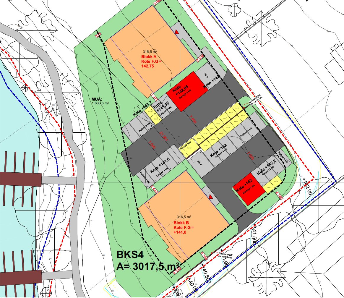
Noresund Fjordutsikt
Geotechnical design and ground investigation
Rana municipalityInfrastructure
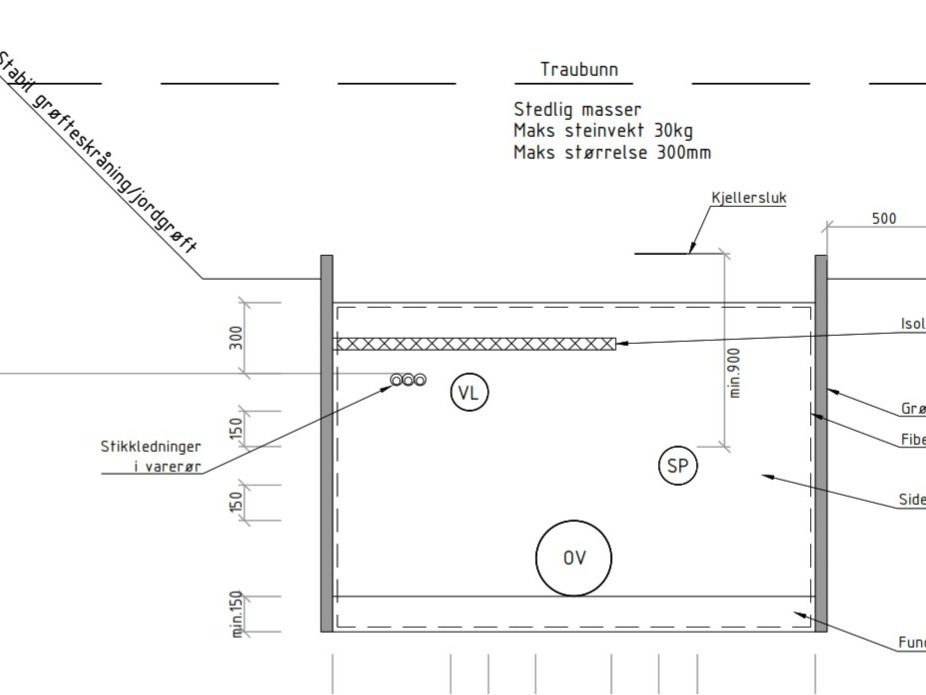
Water and sewer rehabilitation, Mo i Rana
Ground investigation and design, trench and area stability